Search Term Record
Metadata
Name |
Map |
Related Records
-
2007.4.8 - Map
A map of China and its territories. Included in the May 1927 issue of the National Geographic Magazine. Prepared by J. G. Bartholomew of John Bartholomew and Co. and the Edinburgh Geographical Institute -- Gilbert H. Grovesner, Editor.
Record Type: Archive

-
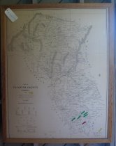
L2003.2.1 - Map
VIRGINIA GEOLOGICAL SURVEY BULLETIN 30 PLATE 1 VIRGINIA GEOLOGICAL SURVEY UNIVERSITY OF VIRGINIA WILBUR A. NELSON, DIRECTOR A GEOLOGIC MAP OF THE PYRITE-GOLD BELT IN CULPEPER, FAIRFAX, FAUQUIER ORANGE, PRINCE WILLIAM, SPOTSYLVANIA, AND STAFFORD COUNTIES VIRGINIA BASE TRAVERSED BY J.W.KISLING, Jr. AND A. A. PEGAU GEOLOGY BY JOHN T. LONSDALE, J. W. KISLING, Jr., D. H. CALDWELL, AND E. R. WOOLFOLK 1927
Record Type: Archive
-
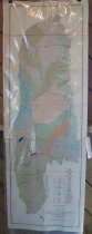
L2003.3.7 - Map
MAP OF FAUQUIER COUNTY, VIRGINIA 1876 Compiled from military surveys made during the late war and other data, and corrected with the assistance of reliable parties in the county by H. D. GARDEN. (In lower left) Hand drawn with a crow quill pen by S. E. Ridd #11 of 200 copies
Record Type: Archive
-
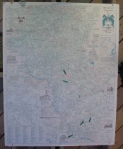
L2003.4.1 - Map
1996 map of Fauquier County surveyed and drawn by Eugene Scheel for The Fauquier Bank
Record Type: Archive